
EarthScope Consortium
@EarthScope_sci
Followers
58K
Following
22K
Statuses
31K
EarthScope Consortium is a new organization formed by the merger of UNAVCO and IRIS. Operator of the NSF GAGE and NSF SAGE Facilities. #NSFfunded
Joined June 2009
RT @NWS_NTWC: The Tsunami Advisory for Puerto Rico and the US Virgin Islands is now canceled. While alerts have ended, strong and unusua…
0
189
0
RT @USGS_Quakes: Notable quake, preliminary info: M 7.6 - 209 km SSW of George Town, Cayman Islands
0
369
0
We're hiring a Permitting Assistant (remote, US) to support the Network of the Americas. This role involves assisting with permitting and landowner relations to help ensure continued operation of critical geophysical infrastructure. Learn more & apply:

0
1
3
The major earthquakes of February 6, 2023 occurred on the northern and southern strands of the East Anatolian Fault Zone. Learn about earthquakes in Türkiye and Anatolian plate tectonics in our full video ⬇️📹
0
1
6
@nueavalanche We'll be here for a bit longer, but will only be posting on other platforms in the future
0
0
0
@2footgiraffe We'll be here for a bit longer, but will only be posting on other platforms in the future
1
0
0
Filtering out both tectonic motion and seasonal variations reveals the volcanic signal. By untangling these different influences, we can track how the volcano is deforming in real time—critical for monitoring activity and understanding long-term volcanic behavior.

0
2
3
NEW 📚 EDUCATOR RESOURCE ShakeAlert: Discover Plate Boundaries Through Ground Motion and Deformation Explore plate boundaries, deformation, and earthquake hazards with hands-on activities that bring real GPS data to life. ➡️

0
13
47
Strainmeters can measure strain changes over fractions of a second or gradual shifts over years. This makes borehole strainmeters invaluable for seismic studies, capturing everything from major earthquakes to subtle plate motions and even tidal forces. ➡️

0
8
12
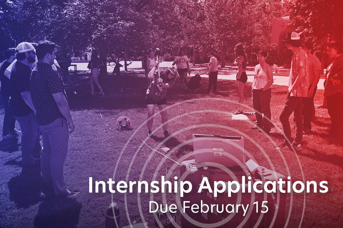
There's two weeks left to submit an application to one of our summer internship programs! Apply by February 15 for: 🔬Geo-Launchpad 🧑🔬 RESESS 📊 Student Career Internship Program ➡️
0
1
3
WEBINAR RECORDING Geophysics Requires Geophysicists: Strategies for Supporting Students’ Awareness of and Preparation for the Geoworkforce Presented by Dr. Karen Viskupic, Boise State University
0
5
11
Each GPS receiver and processing software cost a staggering $150,000, far beyond the reach of most individual researchers. To make the technology more accessible, the University NAVSTAR Consortium (UNAVCO) provided a shared pool of instruments and resources.
0
0
2
RT @USGSVolcanoes: How are the images of magma reservoirs beneath #Yellowstone created? Turns out, a game show has the answer. Or is it the…
0
10
0