

Paul Huttner weather
@paulhuttnerwx
Followers
5K
Following
382
Statuses
3K
Tweets about weather and life from MPR News Chief Meteorologist and Climate Cast Host Paul Huttner. Climate specialist. Sunset lover.
Twin Cities, MN
Joined March 2017
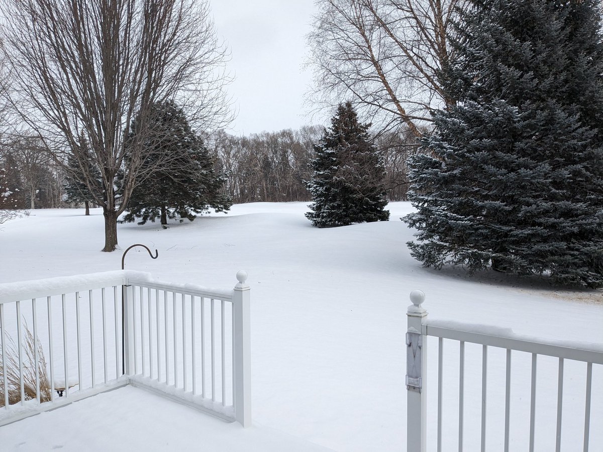
We have a winner! Andover in the north metro puts up an impressive 8". ❄️ Most of the northern half of the Twin Cities got 5" to 8". In the end after all the forecast consternation this week our Saturday storm delivered plenty. #mnwx
Snowfall reports through midday: ❄️ MSP Airport 2.9" Chanhassen 3.5" Ham Lake 4.5" Plymouth 5.1" Minneapolis 5.3" Shoreview 5.8" Breckenridge 6.5" I guess it still snows in Minnesota occasionally. #mnwx
1
0
12
@DKlaus Also common to have Micro bands of heavier snowfall just a few miles wide. Can see a few inches variation over just a few miles.
1
0
3
Roseville 5.4" St. Cloud 5.3" Hugo 6" Cambridge 6"
0
0
4
BIG fluffy dendrites in the primary snow zone now. This is MNDOT cam along I-94 west of Alexandria near Evansville. #mnwx

0
0
8
Latest Friday afternoon 18Z forecast model runs continue to trend the heaviest snow north of MSP. Here's a look at updated radar and forecast model trends through tonight. #mnwx
0
1
12
Primary heavier snow band already delivering moderate to heavy snow along I-94 between Fargo/Moorhead and Fergus Falls. 1/2 mi visibility with vigorous snow now in Fergus. That's the band likely to drop 6"+ north of MSP through central Minnesota. #mnwx


0
1
7
Friday forecast models continue Thursday's trends. Heaviest snow still shifting north of MSP. MSP rides southern edge of snow again. Likely 4"-6"+ north of MSP. Likely 2"-5" MSP area heaviest totals north metro. Can't buy a major snow this winter in the MSP! #mnwx

7
7
45
Snowfall boom or bust? ❄️❄️ Latest model runs still crank out plowable snow for MSP & central MN. Let's see what Friday's runs do before the snow flies for real Friday night. #mnwx
0
3
28
Winter storm watches up for much of Minnesota now. Latest models suggest a faster-moving system that could produce a little less snowfall. ❄️ But it still looks plowable. Details in the post. #mnwx
2
4
24
Who's ready for a winter storm watch in the Twin Cities? That will likely happen on Thursday for heavy snowfall potential on Saturday. ❄️❄️❄️ Meantime some heavy snow will accumulate up north overnight. Details in the post. #mnwx
3
5
66

We're tracking 2 snow systems across Minnesota this week. ❄️❄️ Northern MN gets the heaviest snow tonight. Twin Cities still in line for several inches of snow Saturday! #mnwx
0
4
37
Snow patches developing to the west. Best chance for MSP late PM & evening. Less than an inch tonight. 2"-5" across northern Minnesota. #mnwx
1
0
10
Looking for a local mini tropical vacation? 🌴 The Minnesota Landscape Arboretum spring flower show is a nice break from our winter landscape. #mnwx
0
1
4
We're back in the snow business across much of Minnesota through Saturday. ❄️❄️ Lighter snow starts Wednesday PM. Saturday's system could be a major winter storm for much of Minnesota. Let's see how the forecast track evolves this week. #mnwx
0
3
23
The weather maps are hinting at more snow this week. If forecast model trends hold, Saturday could bring significant accumulations. ❄️❄️❄️ And there are signs of another possible subzero plunge next week. #mnwx
1
2
33