

FGI, NLS
@fgi_nls
Followers
2K
Following
5K
Statuses
4K
Finnish Geospatial Research Institute of @Maanmittaus. #spatialdata #space #laserscanning #pointcloud #drones #navigation #positioning #geodesy #GIS
Otaniemi, Finland
Joined February 2015
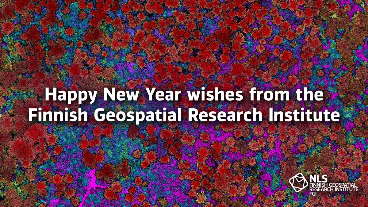
🎉 We wish a Happy New Year 2025 to all our followers, collaborators, and employees! 📸 High-density laser scanning data of forest by Antero Kukko.
0
0
5
RT @Maanmittaus: Suomi tarvitsee kasvua ja kasvu tarvitsee TKI-toimintaa. Siksi onkin merkittävä uutinen, että Geoportti valittiin Suomen A…
0
1
0
RT @Maanmittaus: 🛰️Millaisia vaikutuksia GNSS-häirinnällä on Maanmittauslaitoksen toimintoihin? Testaaminen on tärkeää, jotta tutkijamme @f…
0
1
0
RT @mirjambilker: ❗️Still 3 weeks to apply ❗️ Postdoc position on Geodetic Reference Frames #Geodesy
@fgi_nls @Maanmittaus
https://t.c…
0
1
0
RT @mirjambilker: Open house today at @fgi_nls #Nummela standard baseline. For the 17th time measured this autumn using the Väisälä compara…
0
3
0
RT @JarkkotKoskinen: Work for science and national defence continues. @fgi_nls @SuomenEduskunta @tulanetFI @Maanmittaus
0
2
0
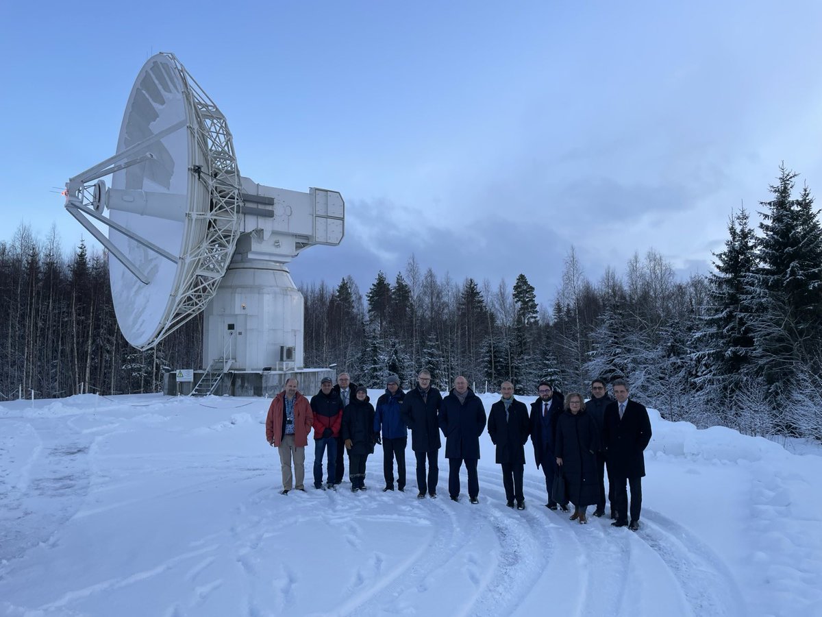
Portugese Minister of Agriculture and Fisheries José Manuel Fernandes @JMFernandesEU visited FGI at the Metsähovi Geodetic Research Station, where we presented our research, especially projects utilising geospatial data for the benefit of #agriculture and #forestry in Finland.🇪🇺
0
1
6
Postdoc positions open now at the FGI: 🌊Digital Waters project 🚁Drone Technologies 🗺️Geoinformatics 📡 Laser Scanning 🛰️Satellite Navigation 📏Geodetic Reference Frames 🌌Space Geodesy This is a unique opportunity, take a chance and apply!
0
6
9
RT @UEF_EntoNet: Kesällä 2024 #KolinKansallispuisto'n kuuset altistuivat kuivuudelle ja kaarnakuoriaisten iskeymille. Tutustu aiheeseen täs…
0
4
0
As extreme weather increases, we need more accurate data on waterbodies. Our researchers have made record-breaking precise measurements of Finland's rivers. The digital modelling of rivers helps predict, for example, the impact of floods. Read more 👇
0
0
2
RT @Maanmittaus: Suomen joista kerätään nyt tarkkaa tutkimustietoa, jonka avulla voidaan varautua paremmin äärisäihin ja tulviin. Tutkimuks…
0
3
0
We have an open house on 27th – sign up and visit the Finnish Geospatial Research Institute! Learn more about our research – and also our available postdoc positions. Sign up here 👇 #geodesy #positioning #photogrammetry #laserscanning #remotesending
0
1
1
We predict that #forestry will shift to the precision level of individual trees. Precision forest management will support #biodiversity, enhance carbon sequestration, improve forests' resilience - and increase profit. Read more 👇 @Forest_sciences
0
0
3
RT @Maanmittaus: Tutkijamme ennustavat, että #metsätalous siirtyy yksittäisten puiden tarkkuuteen. Etua mm. biodiversiteetille, hiilensidon…
0
5
0
RT @pasi_patrikaine: Maa- ja metsätalousministeri @SariEssayah vieraili @Maanmittaus Metsähovin tutkimusasemalla @Metsahovi. Kiitoksia vier…
0
3
0
RT @DE_Research_: X: 🌲 New research from @FGI_Finland uses hydrogen-powered airships & machine learning to monitor forest health! 🌍 This sc…
0
3
0
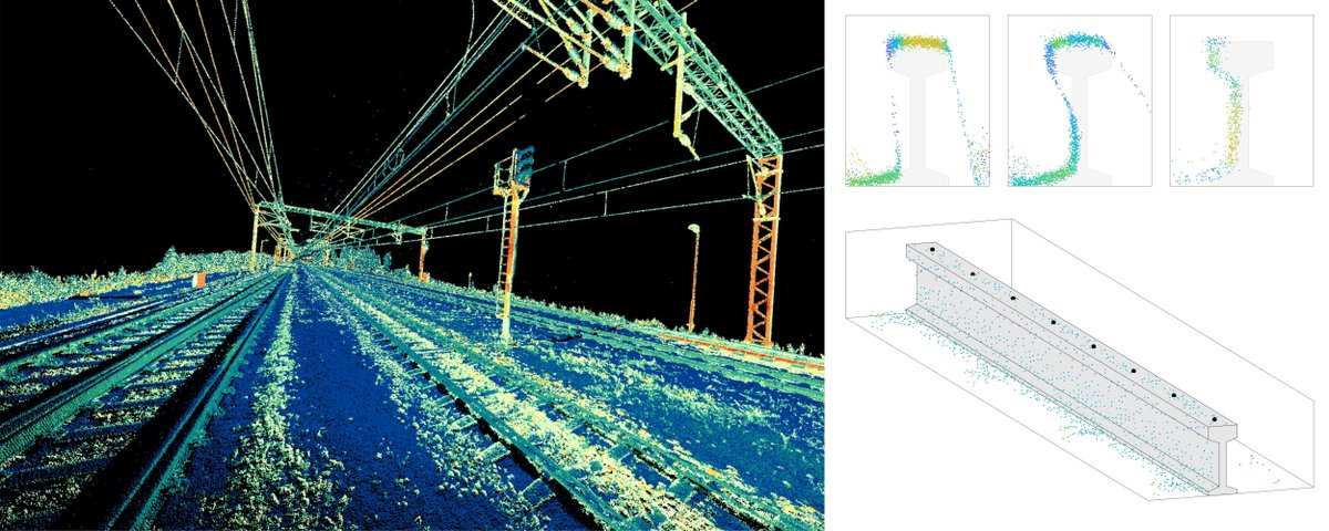
We studied how mobile #laserscanning can be used to map #railway tracks. The method significantly improved accuracy and can be used to monitor changes in the rails, such as track subsidence, enhancing railway safety. Full article👉 #remotesensing
0
0
6
RT @UNITEflagship: 1/7 Modern technology can provide a lot of information about forest biodiversity. Data can be collected using satellites…
0
3
0