CSVerdel Profile Banner
Charlie Verdel Profile
Charlie Verdel

@CSVerdel

Followers
3K
Following
12K
Media
490
Statuses
889

Geologist in central Australia. 🇺🇸 in 🇦🇺 https://t.co/fvuMPMPayp

Northern Territory, Australia
Joined October 2020
Don't wanna be here? Send us removal request.
@CSVerdel
Charlie Verdel
4 years
#Cryogenian carbonate succession of the eastern Amadeus Basin, Northern Territory
Tweet media one
5
5
112
@CSVerdel
Charlie Verdel
13 hours
Near Vici, Oklahoma #dronephotography
0
1
10
@CSVerdel
Charlie Verdel
10 days
USGS topographic map from the Death Valley region of eastern California #rayshader #QGIS
Tweet media one
Tweet media two
2
3
58
@CSVerdel
Charlie Verdel
1 month
Boise City, Oklahoma #dronephotography
Tweet media one
3
0
9
@CSVerdel
Charlie Verdel
22 days
USGS topographic map of the Boise CIty region #rayshader #QGIS
Tweet media one
0
0
6
@CSVerdel
Charlie Verdel
2 months
1927 USGS geologic map from southeast Idaho #rayshader #QGIS
Tweet media one
4
17
135
@CSVerdel
Charlie Verdel
29 days
Alternate version of elevation data
Tweet media one
0
0
3
@CSVerdel
Charlie Verdel
29 days
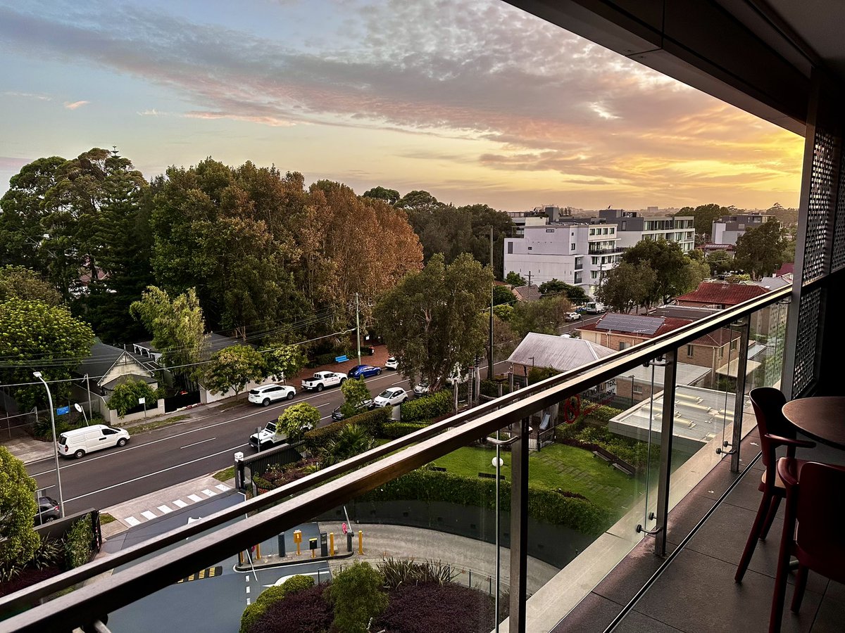
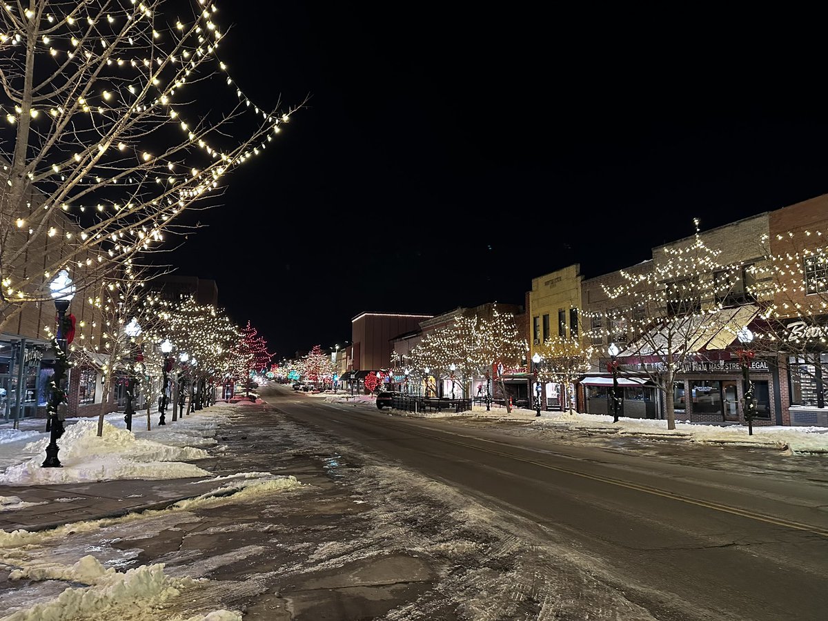
Mascot, New South Wales. Magnificent.Astonishing.Superb.Commendable.Outstanding.Terrific. @branksomehotel
Tweet media one
0
0
1
@CSVerdel
Charlie Verdel
1 month
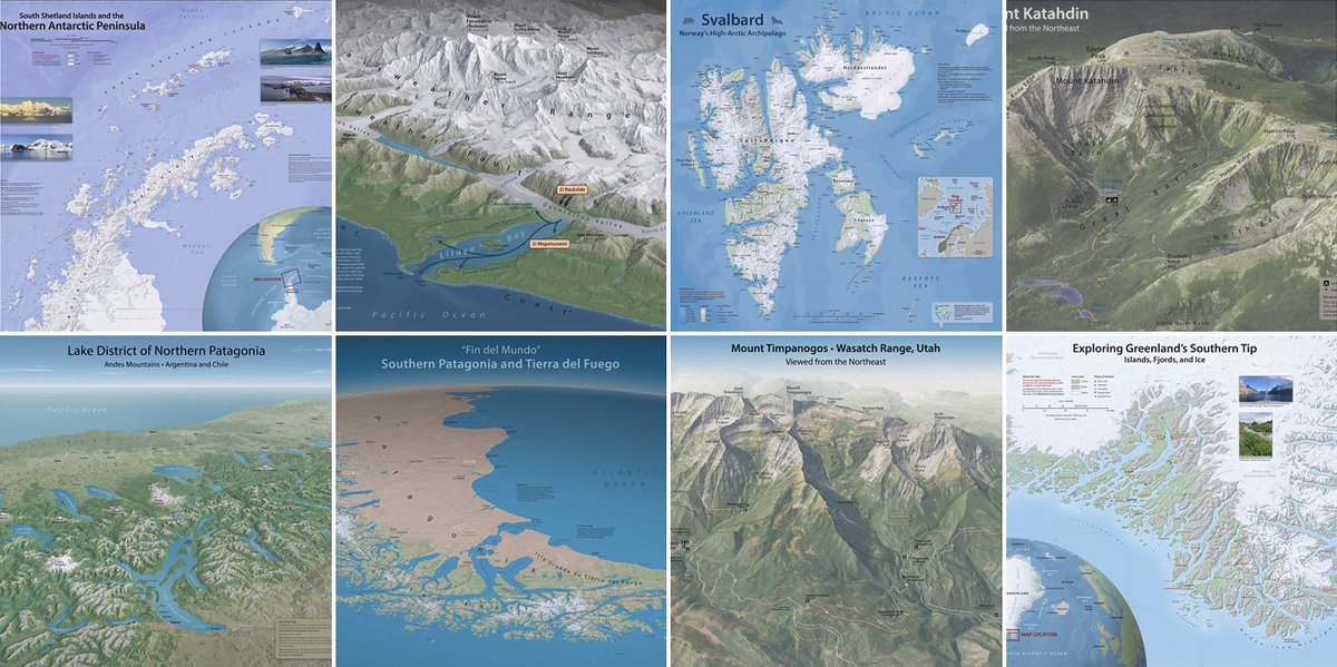
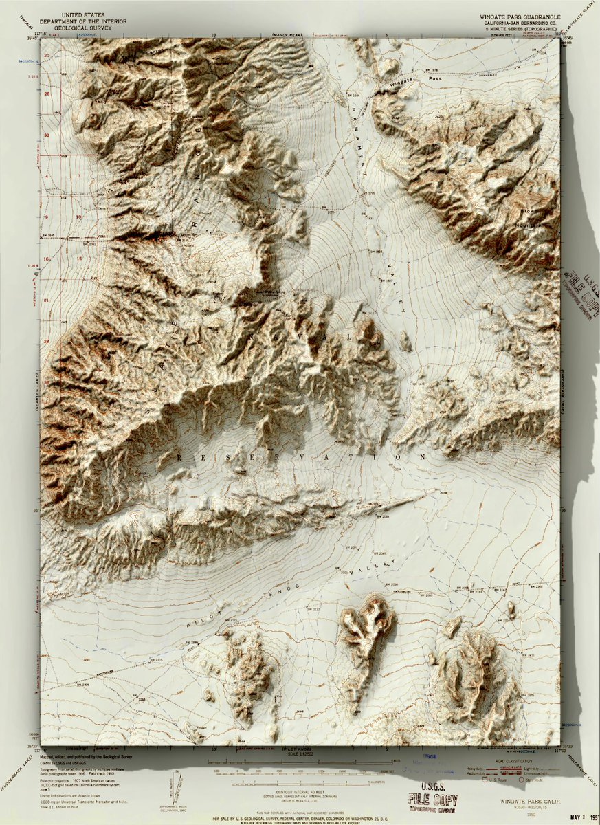
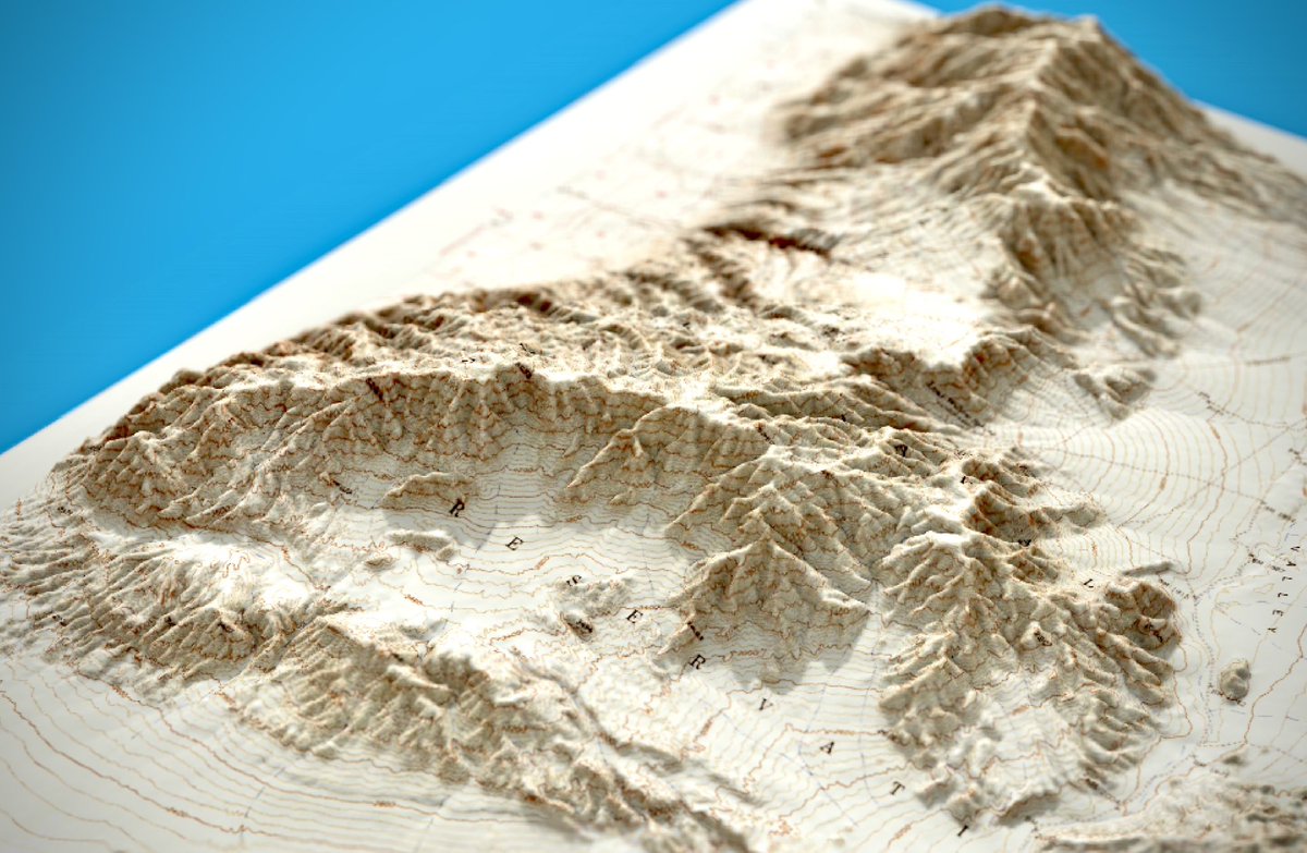
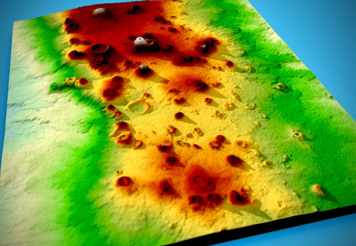
RT @ShijiaWendy: 🆕 #3Dpainting #MapArt: 𝐌𝐭. 𝐓𝐚𝐫𝐚𝐧𝐚𝐤𝐢 & 𝐏𝐨𝐮𝐚𝐤𝐚𝐢 𝐓𝐚𝐫𝐧. Inspired by my trip to the area last month. I didn’t get to see the mo….
0
14
0
@CSVerdel
Charlie Verdel
1 month
Mac’s BBQ. Skiatook, Oklahoma
Tweet media one
0
0
1
@CSVerdel
Charlie Verdel
1 month
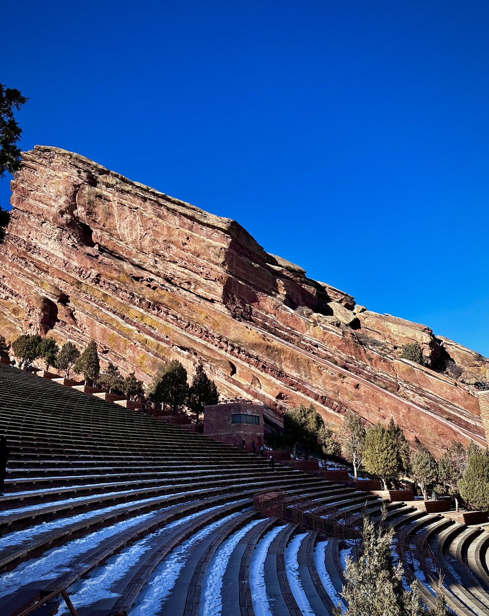
Pennsylvanian Fountain Formation at Red Rocks Amphitheatre. Morrison, Colorado
Tweet media one
1
0
6
@CSVerdel
Charlie Verdel
1 month
Clear Creek. Golden, Colorado
Tweet media one
0
0
11
@CSVerdel
Charlie Verdel
2 months
An excellent night in Lawrence, Kansas
Tweet media one
Tweet media two
0
0
1
@CSVerdel
Charlie Verdel
2 months
Tulsa Shootout
Tweet media one
0
0
2
@CSVerdel
Charlie Verdel
2 months
SRTM data from Harrat Khaybar, Saudi Arabia. Inspired by @StaridasGeo #rayshader #QGIS
Tweet media one
0
0
36
@CSVerdel
Charlie Verdel
2 months
RT @MtnMapper: Big maps that I made in 2024. You can download them for free at:
Tweet media one
0
34
0
@CSVerdel
Charlie Verdel
2 months
USGS topographic map from southern California #rayshader #QGIS
Tweet media one
Tweet media two
1
5
62
@CSVerdel
Charlie Verdel
2 months
1904 USGS topographic map of San Diego #rayshader #QGIS
Tweet media one
1
2
64
@CSVerdel
Charlie Verdel
2 months
Topographic map from North Pole Dome, Western Australia. Original map from #rayshader #QGIS
Tweet media one
1
0
13
@CSVerdel
Charlie Verdel
2 months
Elevation data from
0
0
1
@CSVerdel
Charlie Verdel
2 months
Big Rock Candy Mountain, southern Utah. Lidar data from #rayshader #QGIS
Tweet media one
0
0
7