
CARTO
@CARTO
Followers
32K
Following
7K
Statuses
13K
Spatial Analytics & Data Science for the Modern Data Stack. Sign up for your free 2-week trial: https://t.co/K3o3gkbN5l
Earth
Joined January 2011
We’re thrilled to announce the release of our NEW report: Spatial Indexes 101 🚀 Whether you're a seasoned pro or new to spatial data, this report gives you the insights you need to get the most out of your data. 💡 Download here -- #SpatialData
0
1
7
🆕 New Blog: Detecting Crime Anomalies for Property Risk Assessment Crime patterns change, but they’re often missing from risk models. See how CARTO Workflows helps identify vacant properties in high-crime areas. 📖 Read more:

0
1
2
Turn spatial data into meaningful insights with the right techniques. 🛠️ @helenmakesmaps breaks down five key spatial statistics techniques to help you spot patterns, analyze relationships, and structure data for smarter decisions. 📺 Watch now:
0
1
5
How can geospatial analysis help monitor properties at risk of flooding? 🌊 This step-by-step tutorial covers integrating live data, identifying at-risk assets, and automating alerts for better decision-making. Read the full guide:
0
0
3
Working with geospatial data comes with a lot of technical terms, and a clear definition can make all the difference. The CARTO Glossary is a quick reference for looking up key concepts used across the field. 📖 Explore here:

0
0
0
QGIS just got a cloud upgrade ☁️ Work with large datasets in real time, edit, and streamline your geospatial workflows with cloud-native speed and efficiency. Read more about it in our new blog:

0
1
4
📍 Map store accessibility with walk-time areas Learn to create 15-minute walk zones around Starbucks locations using Redshift & CARTO for better site analysis. Try it now:

0
1
2
🆕 BigQuery ML is now in CARTO Workflows! 📢 Train models, run predictions, and analyze results—all within BigQuery. See how it works with a telecom churn use case. 📊 Read more:

0
0
0
Travel agencies are using geospatial analysis to better understand traveler movement, plan routes, and adjust offerings based on demand. With the right data, they can improve operations and create more personalized experiences. Learn more in our blog:
0
0
0
Why is spatial data still siloed? GeoParquet and no-code tools are making geospatial analysis easier for entire teams, from analysts to decision-makers. Learn more in our 2025 report 📑
0
0
4
🚀 New feature alert: CARTO Workflows Extension Packages have just landed! Automate tasks, ensure consistency & enhance geospatial insights! Use our pre-built packages or create your own, learn more 👇
0
0
0
The countdown is on 🕒 Tomorrow, we’re at the Geospatial Risk Summit hosting Scaling Climate Risk Analysis with CARTO + sponsoring lunch! 🍴 📍 Where: St. John’s University, Davis Insurance Library, Manhattan Details here:

0
0
1
Wondering what CARTO and Google Earth Engine have been collaborating on lately? 🌎👀 Join our next webinar on Feb 26 to explore satellite imagery, BigQuery, and more:

0
0
0
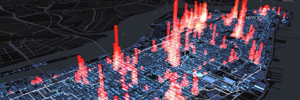
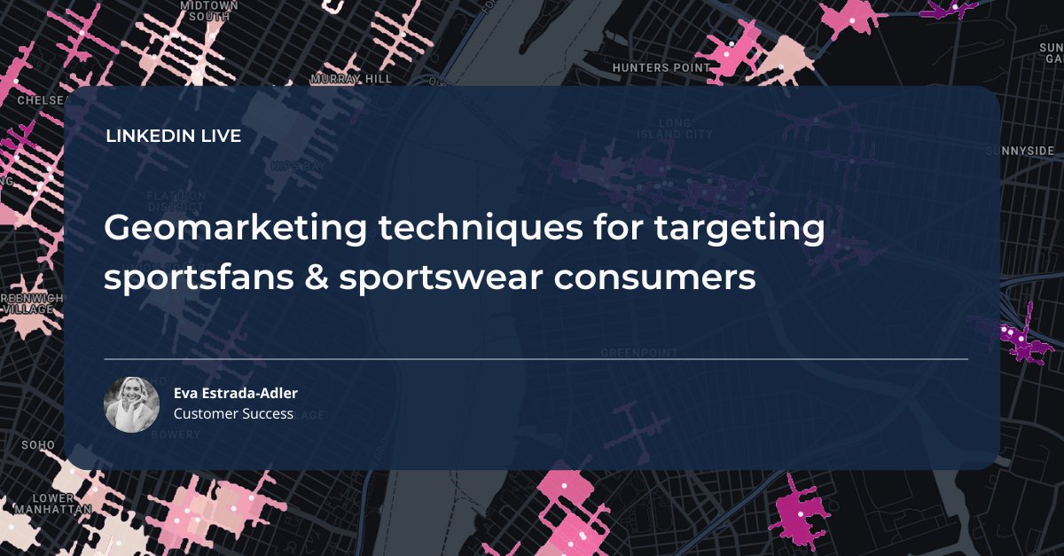
How can geomarketing help businesses reach sports fans? 🗺️🏀⚽ Discover practical ways to refine targeting with geospatial insights:
0
1
2
Create custom basemaps with CARTO! 🎨 Learn to design, host on GitHub, and style in CARTO Builder. Start now:
0
0
1
🚀 Master Spatial Analysis with CARTO Workflows -Build walk-time isolines for retail locations -Enrich them with population data using H3 spatial indexing - Share your results as interactive maps or tables Get started:
0
0
0
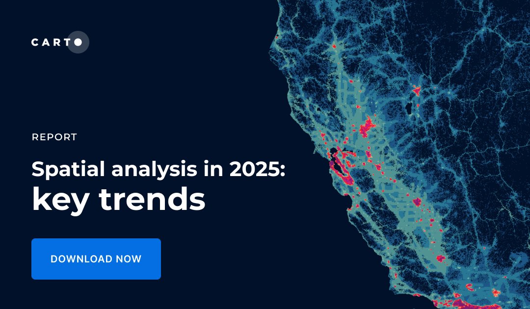
The wait is over! Our Spatial Analysis in 2025 report is here 📖 Dive into the 5 key trends shaping geospatial in 2025, featuring insights from experts at SafeGraph, Global Water Security Center, Deloitte, KFC, and more. Get your copy now:
0
1
3
HR&A Advisors uses CARTO + AWS to map U.S. broadband inequity: ✅ 5,700+ surveys (89% completion) ✅ Real-time insights 📖 Learn more:

0
0
2
Build smarter geospatial apps with CARTO! Join our live webinar this Monday, Jan 22, to learn how. Register now:

0
0
2
What are Isolines?🤔 Isolines can help you map areas accessible by time or distance, factoring in real-world transport networks like roads, paths, and cycleways. 🚲🚌🚆 Curious how they can improve your analysis?📖 Read more:
0
0
0