
Army Geospatial
@ArmyGeospatial
Followers
2K
Following
4K
Statuses
4K
Official site of the Army Geospatial Center. Providing #USArmy timely, accurate, and relevant geospatial information and capabilities. (F/RT/L ≠ endorsement)
Alexandria, Va.
Joined May 2015
#GeospatialQuotes. "If war is about politics, it is going to be fought where people live. It will be fought, in my opinion, in urban areas." General Mark Milley

0
0
0

#DYK. Geospatial Engineers at the tactical level are responsible for a wide range of tasks, including: generating geospatial information, managing geospatial data, analyzing geospatial data, and disseminating geospatial data, information, and products.

1
5
12
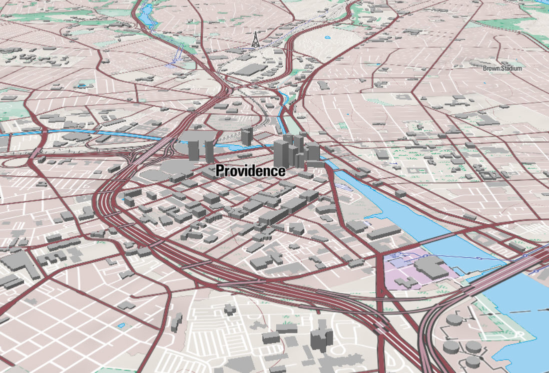
#AcronymsYouShouldKnow. BTIS or the draft Basemap Tile Interoperability Standard gives Army, Joint and Coalition systems and applications a common interface to request basemaps, with multiple styling options, delivered using significantly less storage than current systems.
0
2
6
#UASMapping. Up, up, and away on another Unmanned Aerial System (#UAS) 3D terrain mapping mission! @25thID

0
2
3
#AcronymsYouShouldKnow. MCOO ... the Modified Combined Obstacle Overlay classifies terrain based on its effect on mobility, identifying areas as severely restricted, restricted, or unrestricted. It helps commanders visualize the battlefield and make informed decisions.

0
0
2
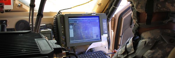
#SoldiersAndMaps. A @2dcavalryregt Soldier checks a topographic map to prepare a convoy brief for a live fire exercise. #BTW nice lamination to weatherproof the map!

0
0
3

#MudMatters. #DYK well drillers use different additives for drilling mud to deal with varied geologic conditions. @ArmyGeospatial team members recently brushed up on additives and drilling mud products for military well drillers.

0
0
2
#ChroniclesOfMuddy. Muddy was last seen at RDAX Dragon Spear 2024, a #CBRN research, development, and acquisition training experiment (#RDAX). She couldn't wait to get started mapping this hallway ... ready, set, go!

0
1
2
#GeospatialQuote. "Mountain warfare is a unique form of military operations that requires specialized skills, equipment, and tactics to overcome the challenges posed by rugged and high-altitude terrain." Dennis Jahn.

0
0
2

0
1
3
#DYK. There are Geospatial Engineers at the Corps, Division, and Brigade Combat Team levels, as well as the Multifunctional and Functional Brigade level. They work closely with other staff sections and units to ensure the effective integration of geospatial considerations.

0
2
6
If you don't know your BIIF from your DGRWI, it may be time to check out the Defence Geospatial Information Working Group's page on Acronyms and Abbreviations.

0
1
3
#AcronymsYouShouldKnow. OAKOC stands for Observation and Fields of Fire, Avenues of Approach, Key Terrain, Obstacles, and Cover and Concealment. These are critical to Intelligence Preparation of the Operational Environment!

0
0
1
#SoldiersAndMaps. A 455th Dental Company (Area Support) @USArmyReserve Soldier shows that a little winter weather is no excuse for avoiding map and compass work.

0
4
6
RT @JeffHarrison: Just wondering, what @opengeospatial WMTS software supports Polar Stereographic projection (EPSG:5041) …
0
2
0